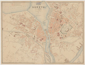
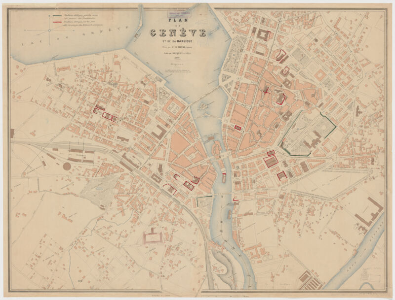
Plan de Genève et de sa banlieue
- Title
- Plan de Genève et de sa banlieue
- Creator / Contributor
- Mayer, J. R.
- Place of Origin
- Switzerland
[Geneva] - Publisher
- Briquet & fils
- Date
- 1880
- Language
- French
- Description
- Extent: 1 map : col. ; 69 x 88 cm.
- Subjects
- Scale 1:3,000.
Geneva Region (Switzerland)--Maps - Genre
- map
Maps - Notes
- Oriented with north toward the right.
Includes legend.
Below lower right margin: Etabl. topogr. de Wurster, Randegger & C[ie] à Winterthur.
Also available online.
Electronic reproduction. Cambridge, Mass. : Harvard Geospatial Library, 2014. Georeferenced image for use in a GIS.
Attribution: dresse par J.R. Mayer, ingénieur. - Series
- Harvard Map Collection digital maps. Imaging the Urban Environment
Harvard Map Collection digital maps. Switzerland. Geneva - Repository
- Harvard Map Collection, Harvard University
Tools & Related Links
- This item appears in
- Scanned Maps
- City Maps and Urban Environments
- More item details
- HOLLIS Record
