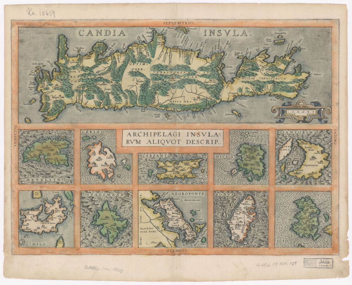
Title
Candia Insula ; Archipelagi Insularum aliquot descrip ; Archipelagi Insularum aliquot descriptio ; Theatrum orbis terrarum. P. 77
Creator / Contributor
Ortelius, Abraham, 1527-1598, creator
Date
1584] 1584
Place of Origin
Belgium Antverpiae
Publisher
Abraham Ortelius [auctoris aere & cura impressum, absolutúmque apud Christophorum Plantinum
Extent
1 map : hand col. ; 15 x 49 cm., sheet 43 x 54 cm.
Language
Latin
Genre
map Early maps. Maps Early works to 1800
Digital Format
Images
Subjects
Islands--Greece--Maps--Early works to 1800 Chios (Greece : Municipality)--Maps--Early works to 1800 Rhodes (Greece : Island)--Maps--Early works to 1800 Euboea Island (Greece)--Maps--Early works to 1800 Limnos (Greece : Municipality)--Maps--Early works to 1800 Mēlos (Greece : Municipality)--Maps--Early works to 1800 Santorini Island (Greece)--Maps--Early works to 1800 Naxos Island (Greece)--Maps--Early works to 1800 Karpathos (Greece : Municipality)--Maps--Early works to 1800 Kythēra Island (Greece)--Maps--Early works to 1800 Lesbos (Greece : Municipality)--Maps--Early works to 1800 Crete (Greece)--Maps--Early works to 1800
Notes
Relief shown pictorially.
Series
Harvard Map Collection digital maps
Repository
Harvard Map Collection, Harvard University
Record ID
990133195280203941