- Title
- Map of the world on a globular projection, Dedication sheet ; exhibiting particularly the nautical researches of Capn. James Cook, F.R.S. with all the recent discoveries to the present time
- Arrowsmith, Aaron, 1750-1823, creator
Dalrymple, Alexander, 1737-1808
Foot, T. (Thomas)
Puke, I.
Dayes, Edward, 1763-1804
Wilson, W.
Wigzell and Mozeen - carefully drawn by A. Arrowsmith ; the plan work engraved by T. Foot ; the writing by Wigzell & Mozeen ; I. Puke sculpt.
- 1794
- England
London - Published as the Act directs Jany. 1st 1794, by A. Arrowsmith No. 10 Soho Square
- 1 map on 4 sheets : hand col. ; 2 hemispheres, each 89 cm. in diam., sheets 50 x 96 cm. or smaller. + 2 title & dedication sheets; 1 booklet (25 p. ; 31 cm.)
- English
- map
Early works to 1800
Maps - Images
- Cook, James--Travel
World maps--Early works to 1800
Western Hemisphere--Maps--Early works to 1800
Eastern Hemisphere--Maps--Early works to 1800 - Relief shown by hachures.
Shows hemispherical map of the world with the routes of Cook's expeditions and discoveries of earlier explorers
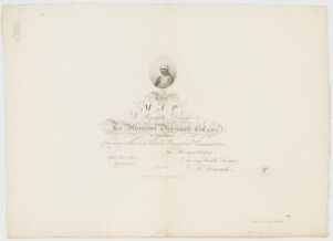
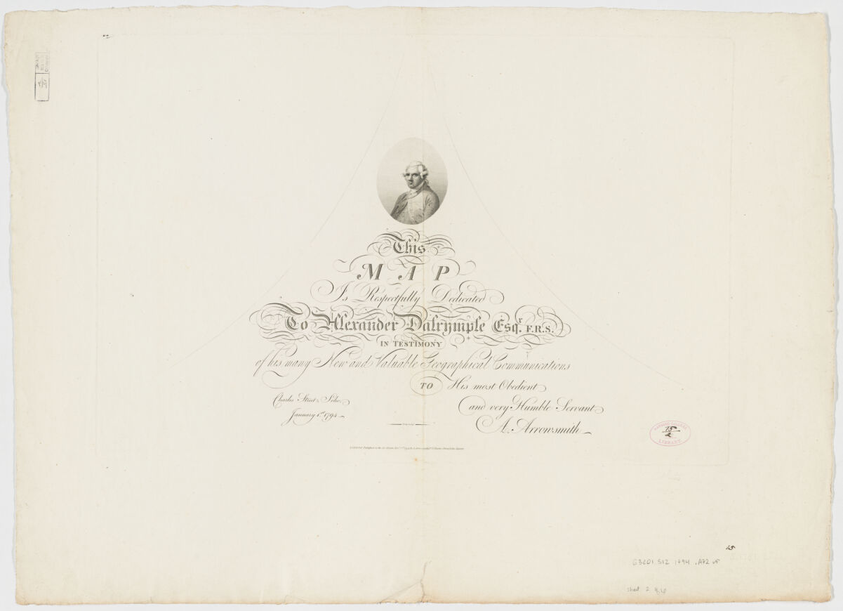
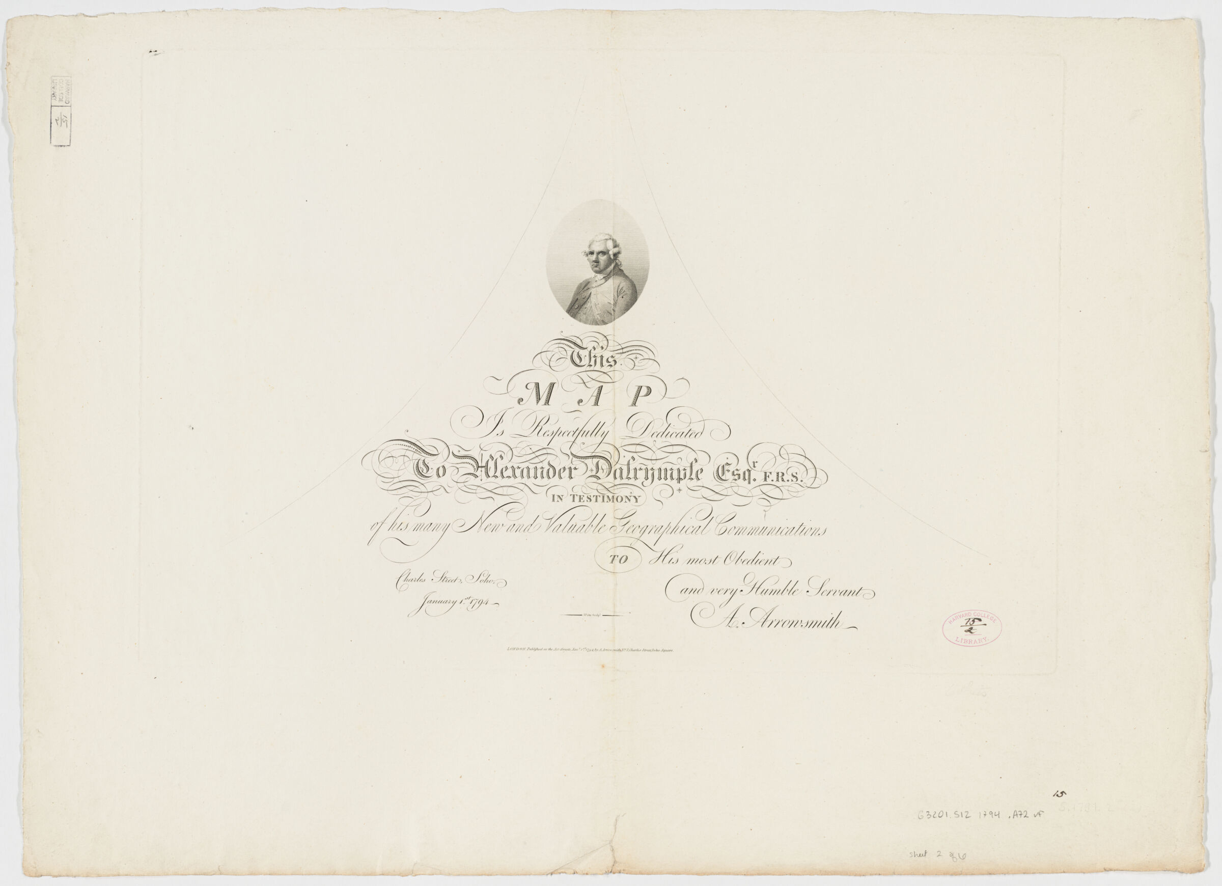
Dedication: This map is respectfully dedicated to Alexander Dalrymple esqr. F.R.S. in testimony of his many new and valuable geographical communications to his most obedient and very humble servant A. Arrowsmith.
State 1: shows "Galapagos" & "An island discovered by cap[n] Wake going from Owhyee to China 1794" & "Penhryns I."
On title sheet: E. Dayes del. ; W. Wilson, sculp.
Accompanying booklet entitled: A companion to a Map of the World by A. Arrowsmith. London: Printed by George Bigg, for the Author, Charles Street, Soho Square, 1794. Includes 1 foldout table of the equator. - Open Collections Program at Harvard University
- Harvard Map Collection, Harvard University
- 990115403330203941_FHCL:2466182
- Title
- Map of the world on a globular projection, Dedication sheet ; exhibiting particularly the nautical researches of Capn. James Cook, F.R.S. with all the recent discoveries to the present time
- Creator / Contributor
- Arrowsmith, Aaron, 1750-1823, creator
Dalrymple, Alexander, 1737-1808
Foot, T. (Thomas)
Puke, I.
Dayes, Edward, 1763-1804
Wilson, W.
Wigzell and Mozeen - Attribution
- carefully drawn by A. Arrowsmith ; the plan work engraved by T. Foot ; the writing by Wigzell & Mozeen ; I. Puke sculpt.
- Date
- 1794
- Place of Origin
- England
London - Publisher
- Published as the Act directs Jany. 1st 1794, by A. Arrowsmith No. 10 Soho Square
- Extent
- 1 map on 4 sheets : hand col. ; 2 hemispheres, each 89 cm. in diam., sheets 50 x 96 cm. or smaller. + 2 title & dedication sheets; 1 booklet (25 p. ; 31 cm.)
- Language
- English
- Genre
- map
Early works to 1800
Maps - Digital Format
- Images
- Subjects
- Cook, James--Travel
World maps--Early works to 1800
Western Hemisphere--Maps--Early works to 1800
Eastern Hemisphere--Maps--Early works to 1800 - Notes
- Relief shown by hachures.
Shows hemispherical map of the world with the routes of Cook's expeditions and discoveries of earlier explorers
Dedication: This map is respectfully dedicated to Alexander Dalrymple esqr. F.R.S. in testimony of his many new and valuable geographical communications to his most obedient and very humble servant A. Arrowsmith.
State 1: shows "Galapagos" & "An island discovered by cap[n] Wake going from Owhyee to China 1794" & "Penhryns I."
On title sheet: E. Dayes del. ; W. Wilson, sculp.
Accompanying booklet entitled: A companion to a Map of the World by A. Arrowsmith. London: Printed by George Bigg, for the Author, Charles Street, Soho Square, 1794. Includes 1 foldout table of the equator. - Series
- Open Collections Program at Harvard University
- Repository
- Harvard Map Collection, Harvard University
- Record ID
- 990115403330203941_FHCL:2466182
Tools & Related Links
- More item details
- HOLLIS Record
Contacts
-
Joseph deVeerLibrary Project Manager and Museum LiaisonErnst Mayr Library617-495-3946
-