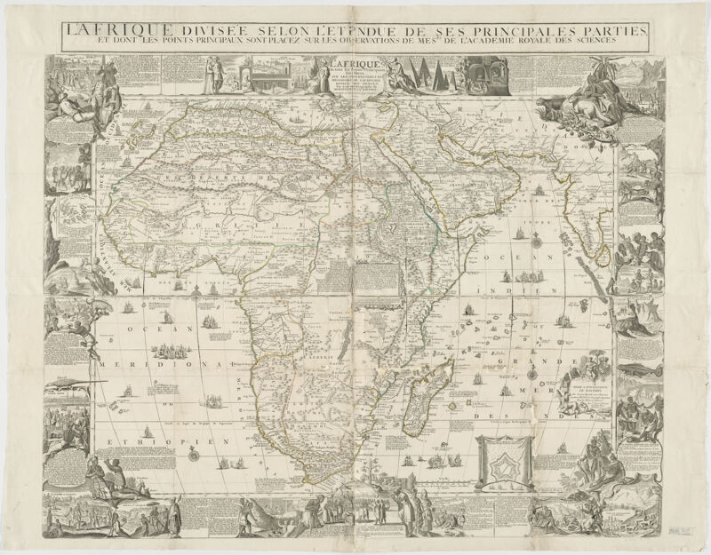
Relief shown by hachures. Title above the neat line: L'Afrique divisée selon l'étendue de ses principales parties... . Map flanked by illustrations, plans, and descriptions of the inhabitants of Africa. Also available online. Electronic reproduction. Cambridge, Mass. : Harvard Geospatial Library, 2014. Georeferenced image for use in a GIS.
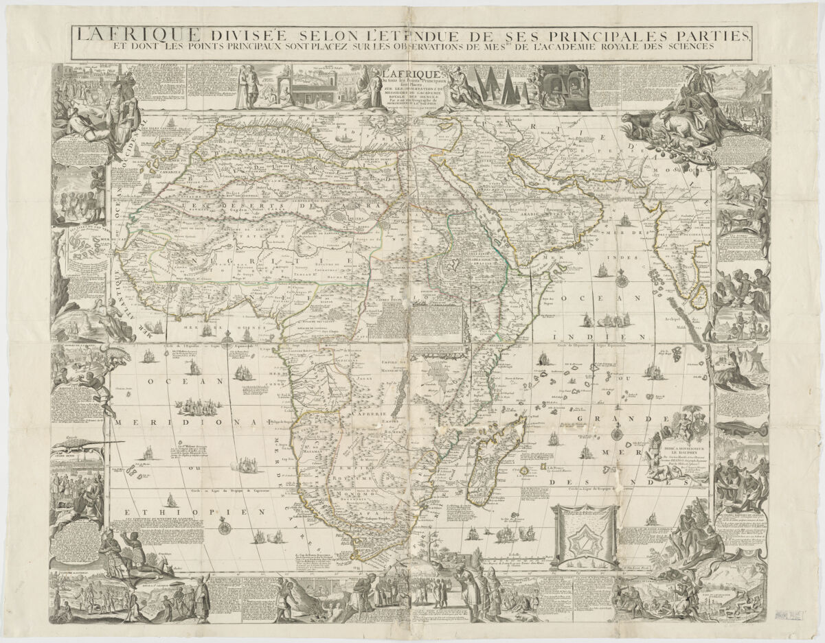
Relief shown by hachures. Title above the neat line: L'Afrique divisée selon l'étendue de ses principales parties... . Map flanked by illustrations, plans, and descriptions of the inhabitants of Africa. Also available online. Electronic reproduction. Cambridge, Mass. : Harvard Geospatial Library, 2014. Georeferenced image for use in a GIS.