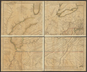
A new map of the western parts of Virginia, Pennsylvania, Maryland, and North Carolina ; comprehending the River Ohio, and all the rivers, which fall into it; part of the River Mississippi, the whole of the Illinois River, Lake Erie; part of the lakes Huron, Michigan &c. and all the country bordering on these lakes and rivers
Relief shown pictorially and by hachures. "Published according to Act of Parliament, Novembr. 1st, 1778." Supplements the author's A topographical description of Virginia, Pennsylvania, Maryland, and North Carolina. Prime meridian: Philadelphia and London. Includes descriptive and historical notes. Available also as a digital image through the Harvard University Web site. Electronic reproduction. Cambridge, Mass. : Harvard Geospatial Library, 2014. Georeferenced image for use in a GIS.
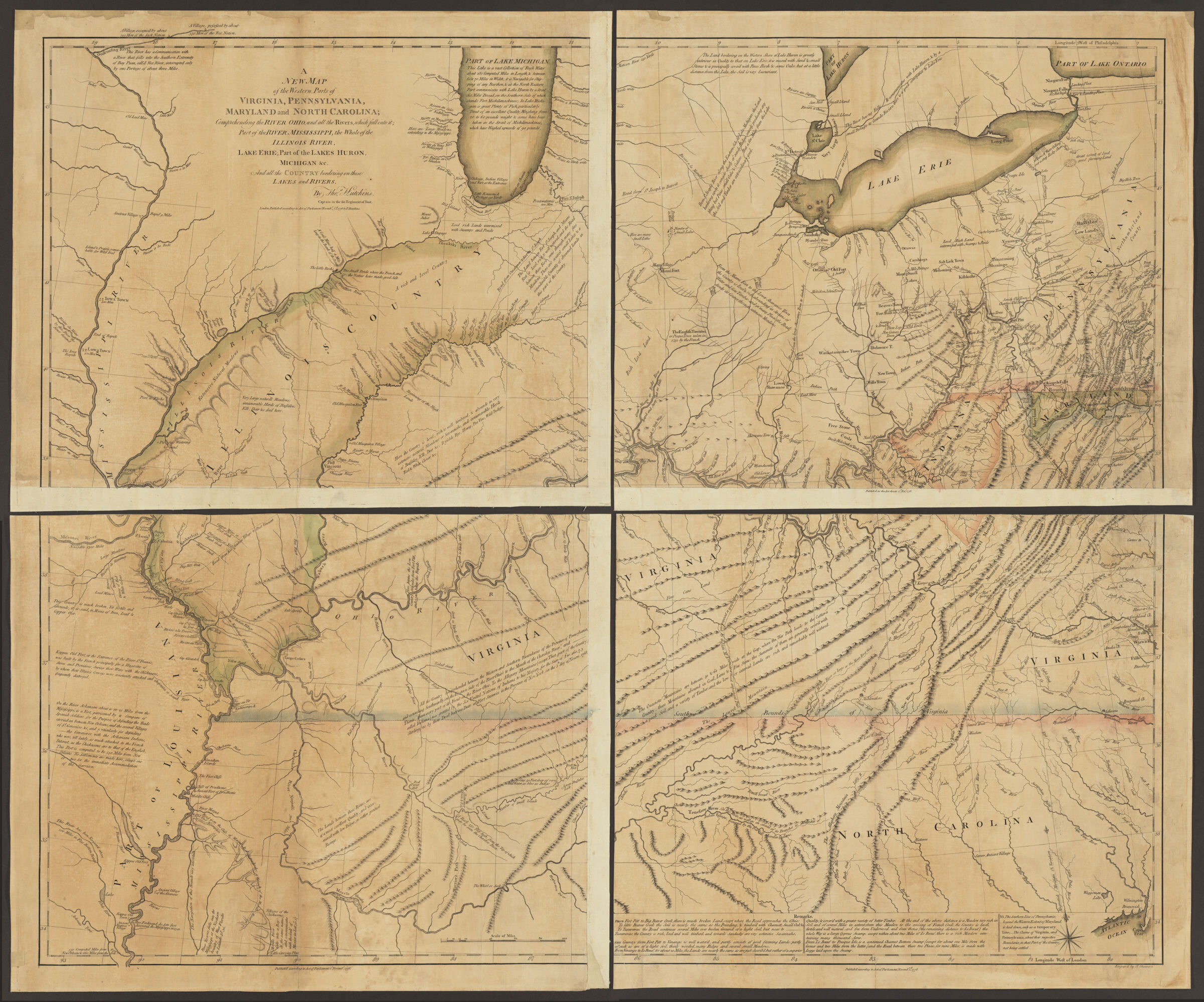