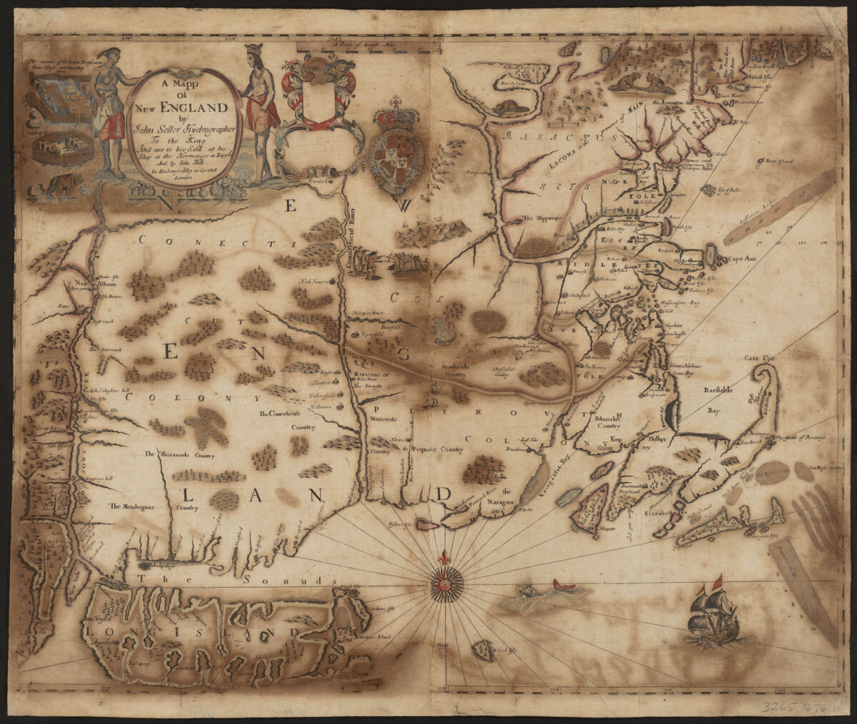
Covers New England from the Penobscot River (Maine) region in the east to the Hudson River (New York) region in the west, incorporating all of the New England Seacoast and including Long Island and States (Staten) Island." Relief shown by pictorially. Depths shown by soundings and shading. Appears in author's Atlas maritimus, or, The sea-atlas, 1675. Accompanied by broadside text entitled: A description of New-England (4 p. ; 46 cm.). Includes ill. Available also as a digital image through the Harvard University Web site.
Covers New England from the Penobscot River (Maine) region in the east to the Hudson River (New York) region in the west, incorporating all of the New England Seacoast and including Long Island and States (Staten) Island." Relief shown by pictorially. Depths shown by soundings and shading. Appears in author's Atlas maritimus, or, The sea-atlas, 1675. Accompanied by broadside text entitled: A description of New-England (4 p. ; 46 cm.). Includes ill. Available also as a digital image through the Harvard University Web site.