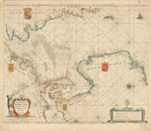
Title
Pascaart van de Noort Zee verthoonende in zich alle de custen en havens daer rontom gelegen
Creator / Contributor
Wit, Frederik de., creator
Date
1654
Place of Origin
Netherlands Amsterdam
Publisher
Frederick de Widt, voor aan inde Calverstraat by den Dam, jn de drij Crabben
Extent
1 map : hand col. ; 43 x 54 cm., on sheet 49 x 56 cm.
Language
Dutch; Flemish
Genre
map Nautical charts Early maps Maps Early works to 1800
Digital Format
Images
Subjects
Nautical charts--North Sea--Early works to 1800 Coasts--North Sea--Maps--Early works to 1800 Coasts--Norway--Maps--Early works to 1800 Coasts--Germany--Maps--Early works to 1800 Coasts--Great Britain--Maps--Early works to 1800 Coasts--Netherlands--Maps--Early works to 1800 North Sea--Maps--Early works to 1800
Notes
Depth shown by soundings.
Series
Harvard Map Collection digital maps
Repository
Harvard Map Collection, Harvard University
Record ID
990094228420203941
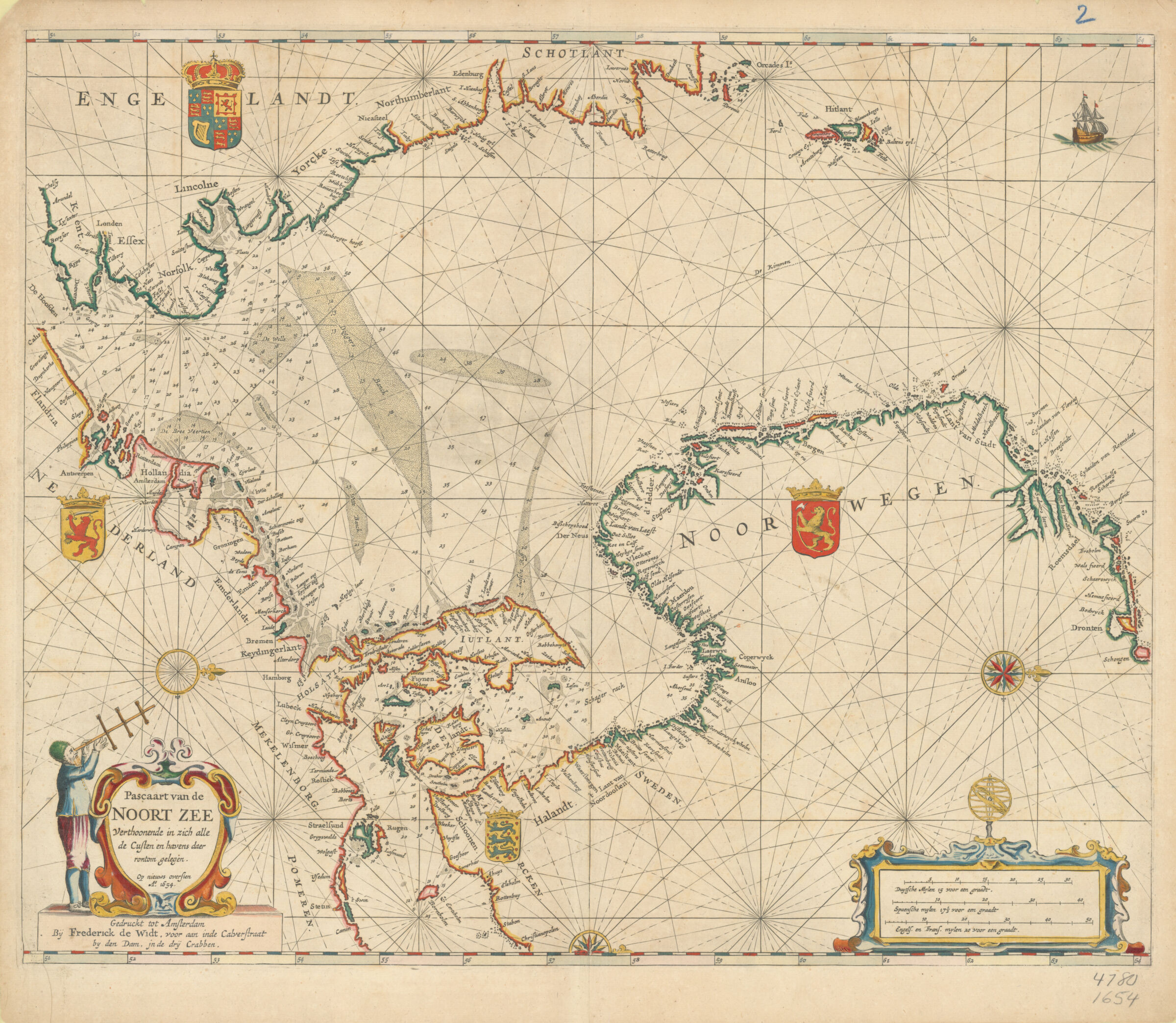