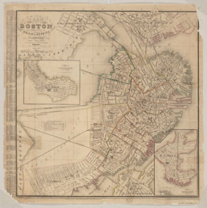
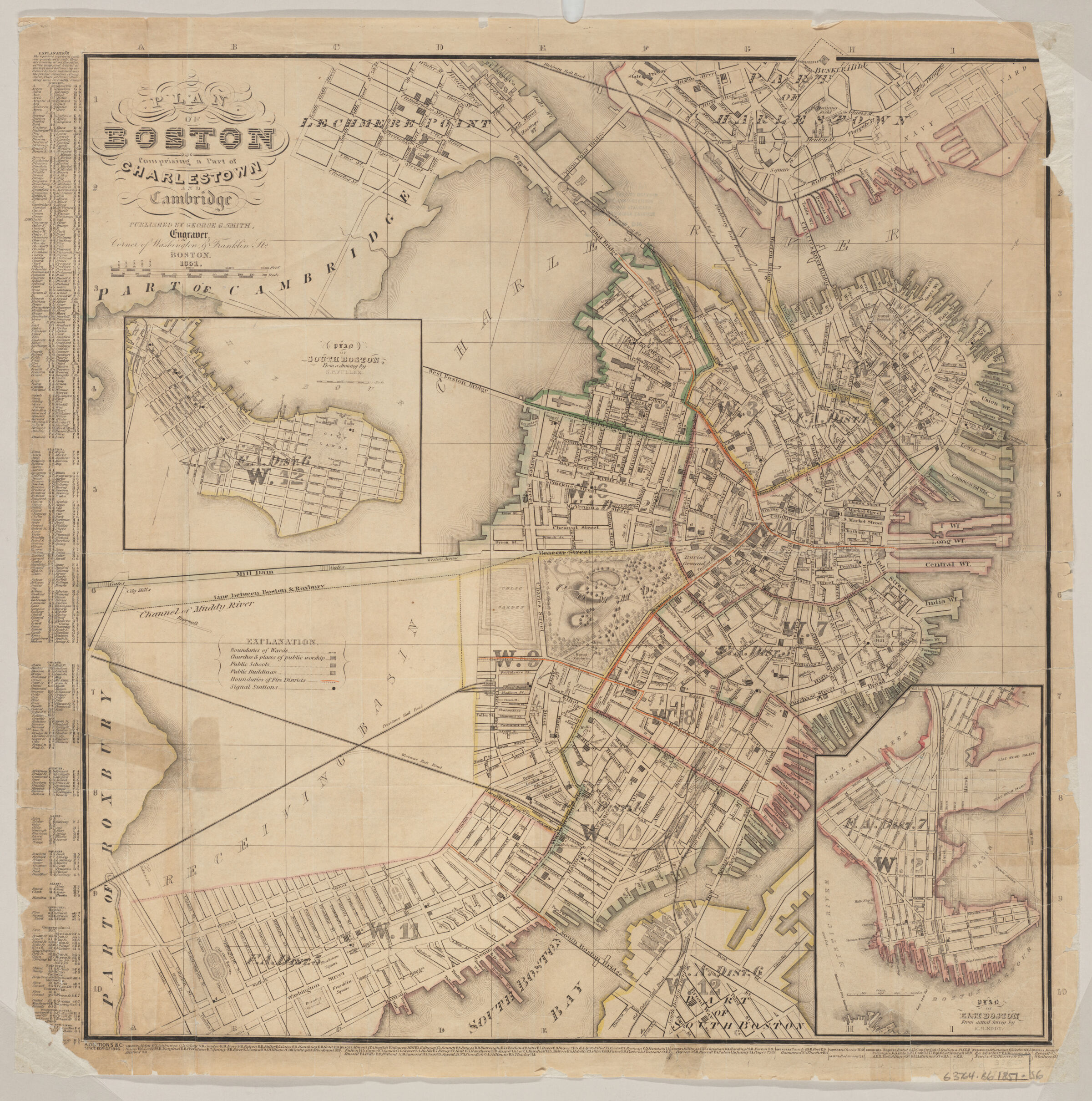
Relief shown by hachures. Shows city wards by outline color and no. Insets: Plan of South Boston from a drawing by S.P. Fuller. Scale [ca. 1:17,600] -- Plan of East Boston from actual survey by R.H. Eddy. Scale [ca. 1:17,000]. Includes indexes to points of interest and streets. Available also as a digital image through the Harvard University Web site. Electronic reproduction. Cambridge, Mass. : Harvard Geospatial Library, 2007. Georeferenced image for use in a GIS.
Relief shown by hachures. Shows city wards by outline color and no. Insets: Plan of South Boston from a drawing by S.P. Fuller. Scale [ca. 1:17,600] -- Plan of East Boston from actual survey by R.H. Eddy. Scale [ca. 1:17,000]. Includes indexes to points of interest and streets. Available also as a digital image through the Harvard University Web site. Electronic reproduction. Cambridge, Mass. : Harvard Geospatial Library, 2007. Georeferenced image for use in a GIS.