- Title
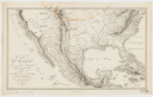
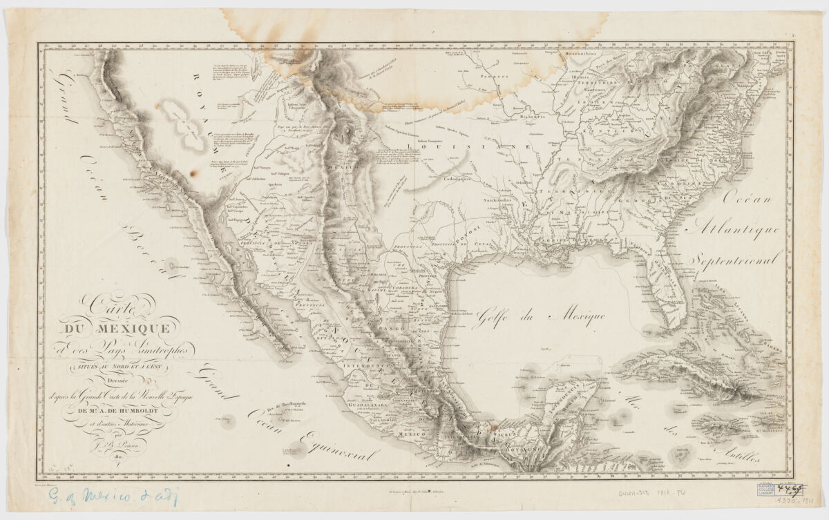
- Carte du Mexique ; et des pays limitrophes situés au nord et à l'est
- Poirson, J. B. (Jean Baptiste), 1760-1831
Schoell, Frédéric, 1766-1833
Barrière, 1764- - dressée d'après la grande cart de la Nouvelle Espagne de M[r] A. de Humboldt et d'autres materiaux par J. B. Poirson; gravé par Barriere et l'écriture par L Aubert.
- 1811
- France
Paris - F. Schoell
- 1 map ; 41 x 72 cm.
- French
- map
government publication
Maps - Images
- Humboldt, Alexander von
Mexico--Discovery and exploration--Maps - Covers also Eastern U.S. as far north as Connecticut, south as far north as present day Missouri, midwest to Ohio, and part of California, Cuba and the Caribbean.
Relief shown by hachures.
Appears in: Atlas géographique et physique du royaume de la Nouvelle-Espagne ... / F.W.H.A. von Humboldt. Paris: F. Schoell, 1811.
Also available online.
Electronic reproduction. Cambridge, Mass. : Harvard Geospatial Library, 2012. Georeferenced image for use in a GIS. - Open Collections Program at Harvard University
- Harvard Map Collection, Harvard University
- 990115226520203941
- Title
- Carte du Mexique ; et des pays limitrophes situés au nord et à l'est
- Creator / Contributor
- Poirson, J. B. (Jean Baptiste), 1760-1831
Schoell, Frédéric, 1766-1833
Barrière, 1764- - Attribution
- dressée d'après la grande cart de la Nouvelle Espagne de M[r] A. de Humboldt et d'autres materiaux par J. B. Poirson; gravé par Barriere et l'écriture par L Aubert.
- Date
- 1811
- Place of Origin
- France
Paris - Publisher
- F. Schoell
- Extent
- 1 map ; 41 x 72 cm.
- Language
- French
- Genre
- map
government publication
Maps - Digital Format
- Images
- Subjects
- Humboldt, Alexander von
Mexico--Discovery and exploration--Maps - Notes
- Covers also Eastern U.S. as far north as Connecticut, south as far north as present day Missouri, midwest to Ohio, and part of California, Cuba and the Caribbean.
Relief shown by hachures.
Appears in: Atlas géographique et physique du royaume de la Nouvelle-Espagne ... / F.W.H.A. von Humboldt. Paris: F. Schoell, 1811.
Also available online.
Electronic reproduction. Cambridge, Mass. : Harvard Geospatial Library, 2012. Georeferenced image for use in a GIS. - Series
- Open Collections Program at Harvard University
- Repository
- Harvard Map Collection, Harvard University
- Record ID
- 990115226520203941
Tools & Related Links
- More item details
- HOLLIS Record
Contacts
-
Joseph deVeerLibrary Project Manager and Museum LiaisonErnst Mayr Library617-495-3946
-