- Title
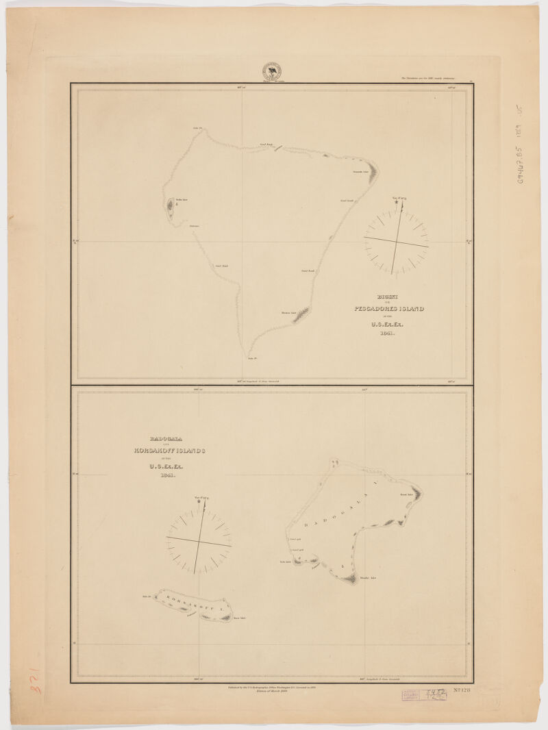
- Bigini or Pescadores Island ; Radogala and Korsakoff Islands
- United States, Hydrographic Office., creator
United States Exploring Expedition (1838-1842) - by the U.S. Ex.Ex. 1841.
- [1889]
1889 - District of Columbia
Washington, D.C - Hydrographic Office
- Ed. of Mar. 1889.
- 2 maps on 1 sheet ; each 29 x 39 cm., sheet 72 x 54 cm.
- English
- map
government publication
Maps - Images
- Nautical charts--Marshall Islands
Rongerik Atoll (Marshall Islands)--Discovery and exploration--Maps
Rongelap Atoll (Marshall Islands)--Discovery and exploration--Maps
Ailinginae Atoll (Marshall Islands)--Discovery and exploration--Maps - First published 1879.
Above upper right margin: "The variations for 1883, nearly stationary."
"No. 128."
Also available online.
Electronic reproduction. Cambridge, Mass. : Harvard Geospatial Library, 2011. Georeferenced image for use in a GIS. - Open Collections Program at Harvard University
Harvard Map Collection digital maps - Harvard Map Collection, Harvard University
- 990115166020203941
- Title
- Bigini or Pescadores Island ; Radogala and Korsakoff Islands
- Creator / Contributor
- United States, Hydrographic Office., creator
United States Exploring Expedition (1838-1842) - Attribution
- by the U.S. Ex.Ex. 1841.
- Date
- [1889]
1889 - Place of Origin
- District of Columbia
Washington, D.C - Publisher
- Hydrographic Office
- Edition
- Ed. of Mar. 1889.
- Extent
- 2 maps on 1 sheet ; each 29 x 39 cm., sheet 72 x 54 cm.
- Language
- English
- Genre
- map
government publication
Maps - Digital Format
- Images
- Subjects
- Nautical charts--Marshall Islands
Rongerik Atoll (Marshall Islands)--Discovery and exploration--Maps
Rongelap Atoll (Marshall Islands)--Discovery and exploration--Maps
Ailinginae Atoll (Marshall Islands)--Discovery and exploration--Maps - Notes
- First published 1879.
Above upper right margin: "The variations for 1883, nearly stationary."
"No. 128."
Also available online.
Electronic reproduction. Cambridge, Mass. : Harvard Geospatial Library, 2011. Georeferenced image for use in a GIS. - Series
- Open Collections Program at Harvard University
Harvard Map Collection digital maps - Repository
- Harvard Map Collection, Harvard University
- Record ID
- 990115166020203941
Tools & Related Links
- More item details
- HOLLIS Record
Contacts
-
Joseph deVeerLibrary Project Manager and Museum LiaisonErnst Mayr Library617-495-3946
-